Flag Description
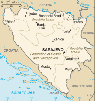
a wide medium blue vertical band on the fly side with a yellow isosceles triangle abutting the band and the top of the flag; the remainder of the flag is medium blue with seven full five-pointed white stars and two half stars top and bottom along the hypotenuse of the triangle; the triangle approximates the shape of the country and its three points stand for the constituent peoples - Bosniaks, Croats, and Serbs; the stars represent Europe and are meant to be continuous (thus the half stars at top and bottom); the colors (white, blue, and yellow) are often associated with neutrality and peace, and traditionally are linked with Bosnia
Add Comment
This policy contains information about your privacy. By posting, you are declaring that you understand this policy:
- Your name, rating, website address, town, country, state and comment will be publicly displayed if entered.
- Aside from the data entered into these form fields, other stored data about your comment will include:
- Your IP address (not displayed)
- The time/date of your submission (displayed)
- Your email address will not be shared. It is collected for only two reasons:
- Administrative purposes, should a need to contact you arise.
- To inform you of new comments, should you subscribe to receive notifications.
- A cookie may be set on your computer. This is used to remember your inputs. It will expire by itself.
This policy is subject to change at any time and without notice.
These terms and conditions contain rules about posting comments. By submitting a comment, you are declaring that you agree with these rules:
- Although the administrator will attempt to moderate comments, it is impossible for every comment to have been moderated at any given time.
- You acknowledge that all comments express the views and opinions of the original author and not those of the administrator.
- You agree not to post any material which is knowingly false, obscene, hateful, threatening, harassing or invasive of a person's privacy.
- The administrator has the right to edit, move or remove any comment for any reason and without notice.
Failure to comply with these rules may result in being banned from submitting further comments.
These terms and conditions are subject to change at any time and without notice.

Comments